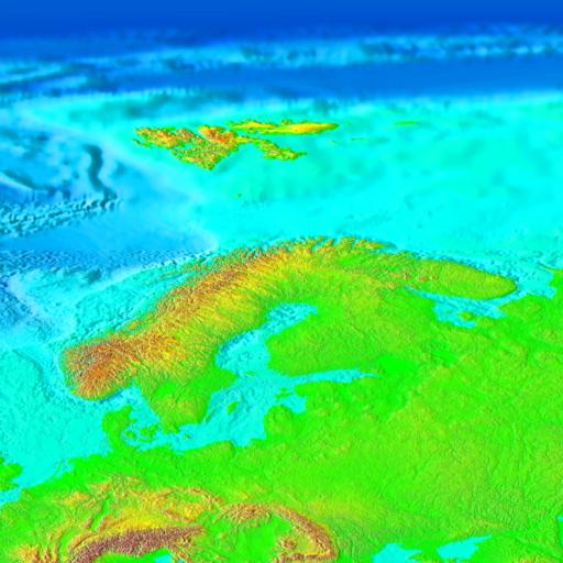
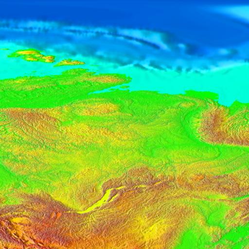
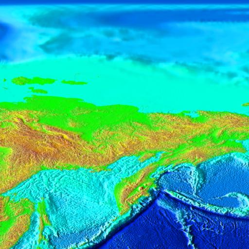
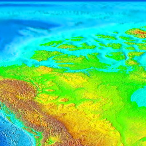
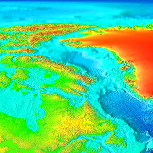
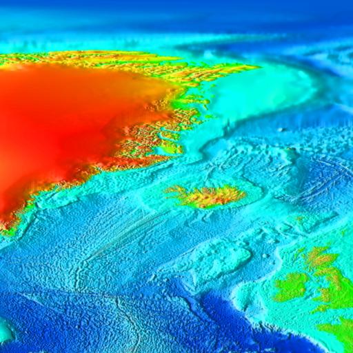
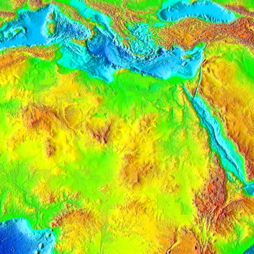
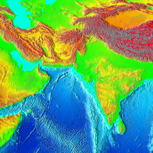
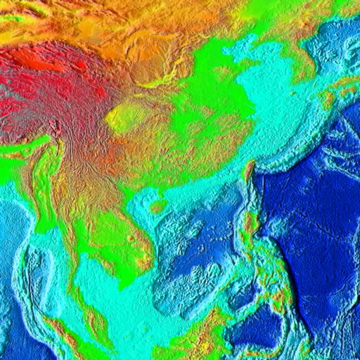
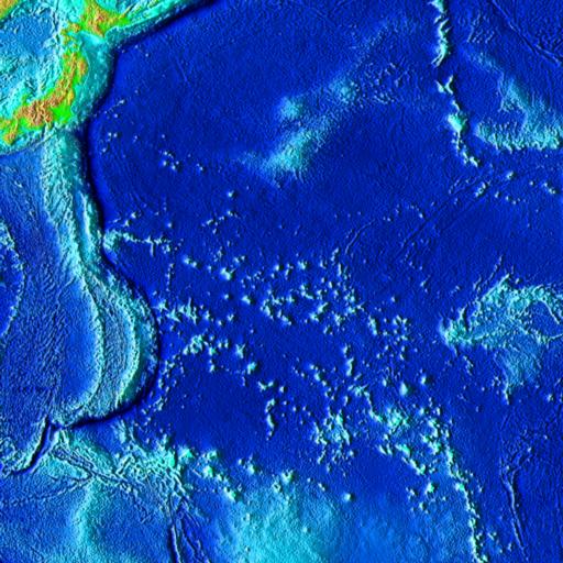
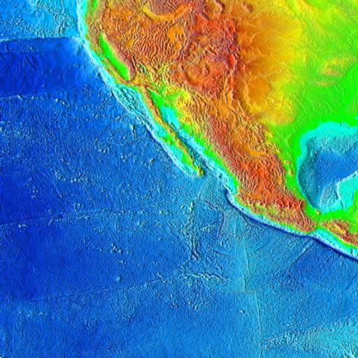
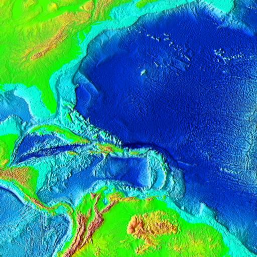
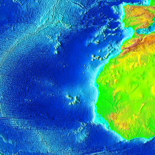
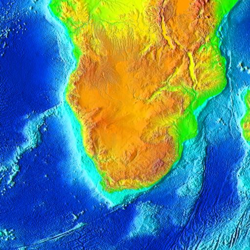
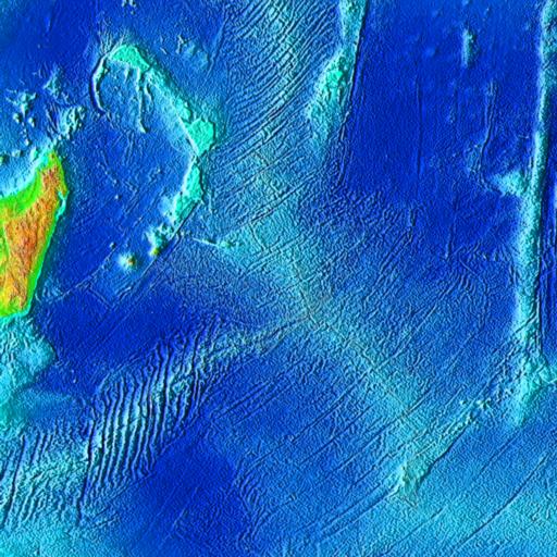
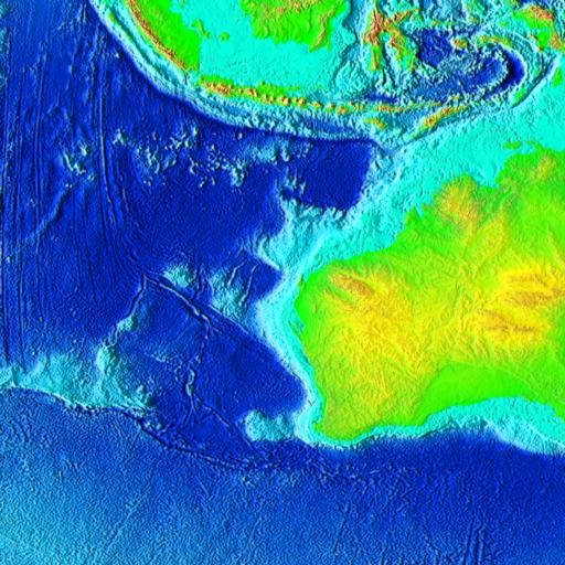
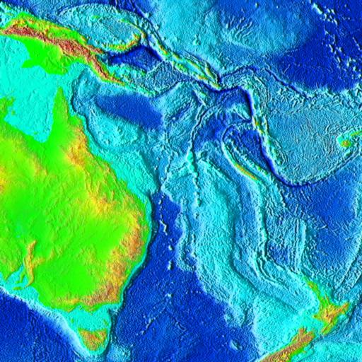
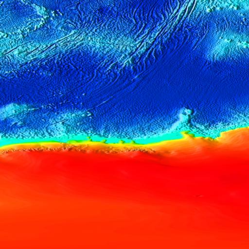
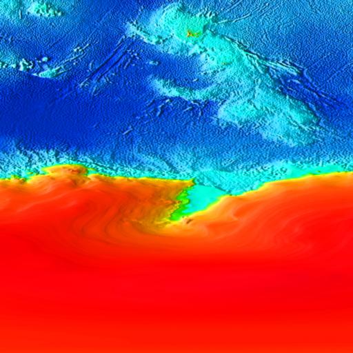
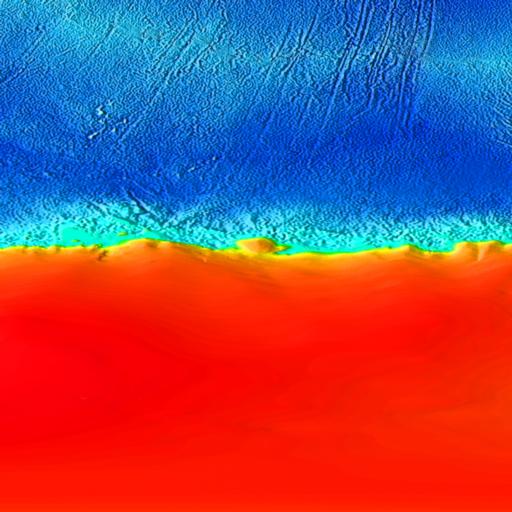
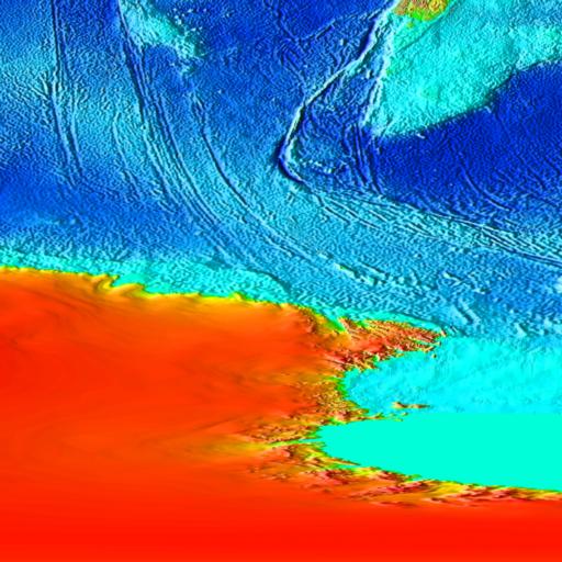
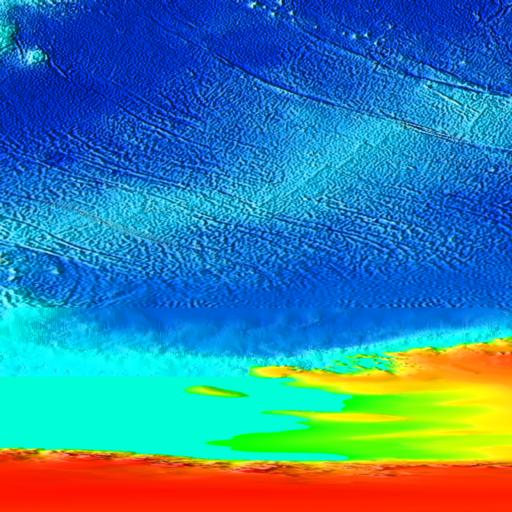
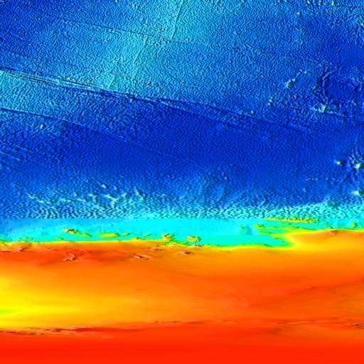
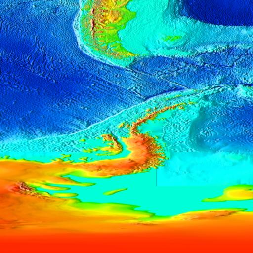
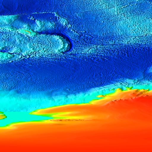
Surface of the Earth, 2 minute bathymetry/topography
image selection
45 degrees by 45 degrees, Cylindrical Equidistant Projection
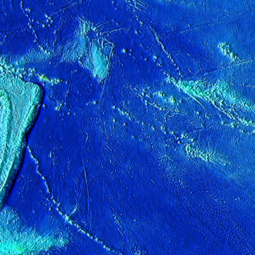
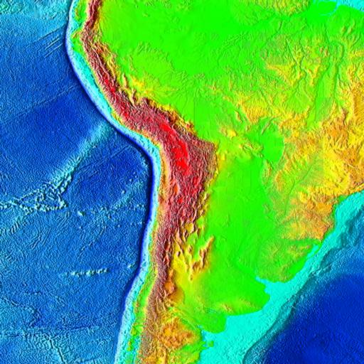
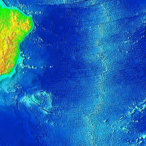
Click on a 45 degree
by 45 degree square above to zoom in on that area
This image was generated from digital data bases of seafloor
and land elevations on a 2-minute latitude/longitude grid (1 minute
of latitude = 1 nautical mile, or 1.853 km). Assumed illumination
is from the west; shading is computed as a function of the east-west
slope of the surface with a nonlinear exaggeration favoring low-relief
areas. A Cylindrical Equidistant projection was used for the world
image, which spans 360 degrees of of longitude from 180 West eastward
to 180 East; latitude coverage is from 90 degrees North to 90
degrees South. The resolution of the gridded data varies from
true 2-minute for the Atlantic, Pacific, and Indian Ocean floors
and all land masses to 5 minutes for the Arctic Ocean floor. Major
data sources are as follows: for Ocean Areas between 72 degrees
North to 72 South latitude, bathymetry is derived from satellite
altimetry of the sea surface; poleward of 72 degrees, data are
from the U.S. Naval Oceanographic Office. Land Topography is primarily
from various sources collected and gridded at 30 minute resolution
by the National Imagery and Mapping Agency, US Department of Defense.