The 3rd international summer school on Earthquake Science
“Monitoring physical properties associated with tectonic processes”
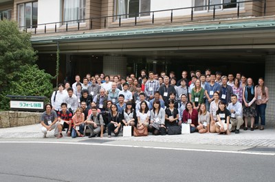
The Earthquake Research Institute of the University of Tokyo (ERI) and the Southern California Earthquake Center (SCEC) organize an international summer school on Earthquake Science in September 4-8, 2015 at Lake Yamanakako, Japan. We encourage graduate students and postdocs in the field of the international community to participate.
Information
- Date
- September 4-8, 2015
- Venue
- Laforet Yamanakako, Yamanashi, Japan
- Scope
- International summer school on Earthquake Science
Top-level scientists for key-note lectures
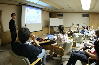
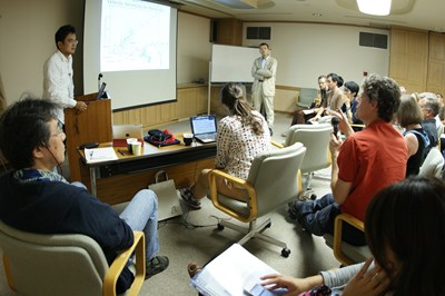
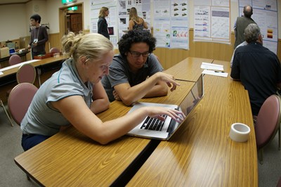
Encourage graduate students' and postdocs' presentations
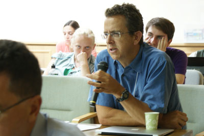
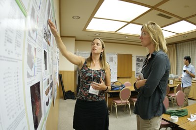
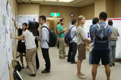
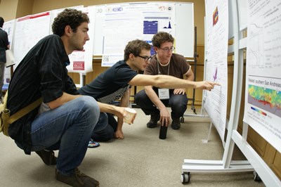
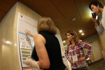
Full week poster sessions for discussion - Participants
- graduate students and postdocs (about 40 persons)
Sessions
With recent improvements in modern geophysical observations and developments of new powerful analysis techniques, we have now reached a stage where we can detect temporal changes of the Earth’s interior associated with tectonic processes. These temporal changes include changes of elastic media, crustal and volcanic deformation, and variability in seismicity and earthquake source mechanisms. This summer school, in particular, focuses on monitoring of the Earth’s interior using seismic and geodetic methods. The program is divided into the following three sessions.
1. Monitoring seismic velocity structure with seismic interferometry
2. Monitoring crustal deformation
3. Monitoring seismicity
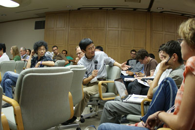
Past summer schools
Organizing Committee
- Kiwamu Nishida (ERI, UTokyo)
- Yoshihiro Ito (DPRI, Kyoto Univ.)
- Aitaro Kato (Nagoya Univ.)
- Victor Tsai (Caltech)
- Rowena Lohman (Cornell Univ.)
- Hitoshi Kawakatsu (ERI, UTokyo)
- Kazushige Obara (ERI, UTokyo)
- Takahiro Hatano (ERI, UTokyo)
- Hiroe Miyake (III and ERI, UTokyo)
- Yosuke Aoki (ERI, UTokyo)
- Shigeki Nakagawa (ERI, UTokyo)
- Akiko Takeo (ERI, UTokyo)
- Mitsuhiro Yoshimoto (MFRI, Yamanashi Pref.)
- Naomi Nakamura (ERI, UTokyo)
- Yuko Yamada (ERI, UTokyo)
Copyright © 2015 Earthquake Research Institute, the University of Tokyo. All rights reserved.