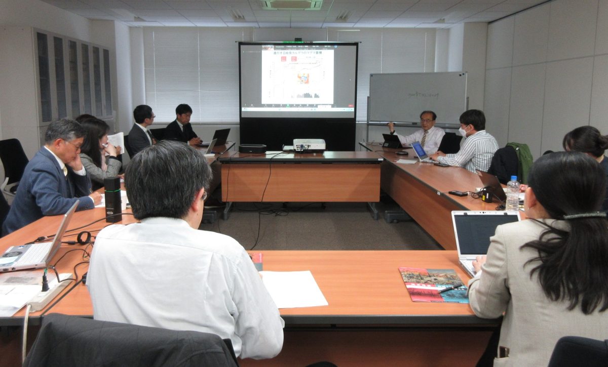
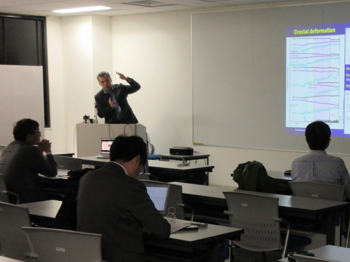
Friday Seminar (17 May 2024) Wei WANG (Chinese Academy of Sciences)

Title: Resolving the scattering and intrinsic attenuation structure of Southern California

Abstract:

Characterizing scattering and absorbing properties and the power spectrum of crustal heterogeneity is a fundamental problem for informing strong ground motion estimates at high frequencies, where scattering and attenuation effects are critical. We perform a comprehensive study of local earthquake coda waves in Southern California to constrain scattering and intrinsic attenuation structures. We analyze data from 1195 spatially distributed earthquakes from 1981 to 2013 at source depths of 10 to 15 km and epicentral distances from 0 to 250 km with magnitudes larger than 1.8. We stack envelope functions from 28,127 vertical component and 27,521 transverse component seismograms, filtered from 2 to 4 Hz. We model these observations using a particle-based Monte Carlo algorithm that includes intrinsic attenuation as well as both P and S wave scattering and both single and multiple scattering events. We find that spatially averaged coda wave behavior for Southern California can be explained only with models containing an increase in scattering strength and intrinsic attenuation within the uppermost crust, i.e., they are poorly fit with half-space models of constant scattering strength. A reasonable fit to our data is obtained with a two-layer model, composed of a shallow crustal layer with strong wide-angle scattering and high P and S intrinsic attenuation and a deeper layer with weaker scattering and lower intrinsic attenuation (top 5.5 km: αQf=250, βQf=125, heterogeneity correlation length a = 50 m, fractional velocity heterogeneity ε = 0.4; lower crust: αQf=900, βQf=400, a = 2 km, ε = 0.05).

金曜日セミナー(2024年5月10日)臼井 嘉哉(地震予知研究センター)

題目:いわき地域周辺の電気比抵抗構造

要旨:
福島県いわき地域では、2011年3月11日の東北太平洋沖地震の後、活発な地震活動が起きており、2011年4月11日には福島県浜通りを震源とするマグニチュード7.0の地震が発生した。地震の発生に地殻内の流体が重要な役割を果たしていることが明らかになってきており、地殻流体の存在に敏感である電気比抵抗に基づいた地殻構造推定がいわき地域周辺で実施されてきた。その結果、4月11日の浜通りの地震の震源域周辺では、地震の多くが高比抵抗域で起きていること、震源直下には低比抵抗域が存在することが明らかになっている。本発表では、はじめに電気比抵抗の特性と比抵抗構造探査手法を概説した上で、いわき地域周辺で明らかになっている電気比抵抗構造をレビューする。2011年4月11日の地震の震源周辺のローカルな比抵抗構造に加えて、いわき市から新潟市に至る島弧横断測線の比抵抗構造およびその南の那須岳、高原山を含むエリアの3次元比抵抗構造についても紹介する。

第23回サイエンスカフェ(ハイブリッド)開催報告

サイエンスカフェを地震・火山噴火予知研究協議会と広報アウトリーチ室の共同で、2024年4月24日にハイブリッドで開催いたしました。


23回目となる今回は、「桜島火山大規模噴火のメカニズムと災害予測」というテーマで開催し、 下司信夫 教授(九州大学大学院理学研究院)および井口正人 名誉教授(京都大学)を迎え、加藤尚之 教授の司会のもと、桜島火山について紹介していただきました。


<地震・火山噴火予測研究のサイエンスカフェ >
地震や火山噴火に関する研究の成果は、予測の基礎となることが期待されています。これまでの研究から、地震や火山噴火のメカニズムへの理解は深まってきました。また、今後発生する可能性のある地震や火山噴火を指摘することもある程度はできます。しかし、規模や発生時期についての精度の高い予測はまだ研究の途上です。このサイエンスカフェでは、地震・火山噴火の予測研究の現状について研究者と意見交換を行い、研究者・参加者双方の理解を深めることを目的とします。

第1035回地震研究所談話会開催のお知らせ

下記のとおり地震研究所談話会を開催いたします。

ご登録いただいたアドレスへ、開催当日にZoom URLとパスワードをお送りいたします。
なお、お知らせするZoom URLの二次配布はご遠慮ください。また、著作権の問題が
ありますので、配信される映像・音声の録画、録音を固く禁じます。

               記

    
日  時: 令和6年4月26日(金) 午後1時30分~

場  所: 地震研究所1号館2階 セミナー室
Zoom Webinarにて同時配信

1. 13:30-13:45

演題:過去400年の京都周辺の地震活動の時空間変化を歴史資料から明らかにする【所長裁量経費成果報告】

著者:○加納靖之・大邑潤三、岩橋清美(國學院大学)、玉澤春史(生産技術研究所)、北井礼三郎(立命館大学)

2. 13:45-14:00

演題:火山での気泡破裂現象と音波形成機構解明のための火口極近傍観測プロジェクト部 活動報告

【所長裁量経費成果報告】

著者:○村松 弾・市原美恵・前野 深・小山崇夫・森田雅明、田中 良(北海道大学)

要旨:バヌアツ共和国Yasur火山における現地調査の結果を中心に報告する。

3. 14:00-14:15

演題:炭素材プロジェクト

著者:○平賀岳彦・KIM Naheyon・竹内昭洋

要旨:所長裁量費によって補助を受けた炭素材変形実験用治具の開発とそれを用いた実験の報告

○発表者

※時間は質問時間を含みます。

※既に継続参加をお申し出いただいている方は、当日zoom URLを自動送信いたします。

※談話会のお知らせが不要な方は下記までご連絡ください。

〒113-0032 東京都文京区弥生1-1-1 

東京大学地震研究所 共同利用担当

E-mail:k-kyodoriyo(at)eri.u-tokyo.ac.jp

※次回の談話会は令和6年5月24日(金) 午後1時30分~です。

行竹 洋平 准教授らの論文がThe 2023 EPS Excellent Paper Award 受賞

行竹 洋平 准教授が、The 2023 EPS Excellent Paper Awardを受賞しました。


受賞名:The 2023 EPS Excellent Paper Award
授与機関:Earth, Planets and Space (EPS)
受賞日:2024年3月29日
受賞論文:Chronology of the 2015 eruption of Hakone volcano, Japan: geological background, mechanism of volcanic unrest and disaster mitigation measures during the crisis.

Friday Seminar (19 April 2024) **at 3 pm** Zachary Ross (Caltech)

Title: Earthquake swarms and magma transport in the mantle sill complex beneath Hawai‘i

Abstract:

The deep magmatic architecture of the Hawaiian volcanic system is central to understanding the transport of magma from the upper mantle to the individual volcanoes. We leverage advances in earthquake monitoring with deep learning algorithms to image the structures underlying a major mantle earthquake swarm of nearly 200,000 events that rapidly accelerated after the 2018 Kīlauea caldera collapse. At depths of 36 to 43 kilometers, we resolve a 15-km-long collection of near-horizontal sheeted structures that we identify as a sill complex. These sills connect to the lower depths of Kīlauea’s plumbing by a 25-kilometers-long belt of seismicity. These findings implicate the mantle sill complex as a nexus for magma transport beneath Hawai‘i and furthermore indicate widespread magmatic connectivity in the volcanic system. The sill complex further presents an opportunity to elucidate interactions between stress and magma transport processes in the mantle. We invert for full moment tensors of sill earthquakes and identify predominantly shear mechanisms with persistent tensile faulting components. Slip occurs in-plane with the sill structures. Pressure axes are radially oriented about a point near Mauna Loa, consistent with a stress field generated by a flexural load. Together, these observations suggest that magma flux through the sill structures generates seismicity by increasing pore pressure and promoting slip. Our results suggest that stress changes in mantle structures may enable fluctuations in magma supply rates to the surface over short timescales.

Friday Seminar (12 April 2024) **at 3 pm** Dan Bassett (GNS Science)

Title: Improving hazard resilience by high-resolution 3D seismic tomography of subduction zones in Japan and New Zealand

Abstract:

Resolving subduction zone structure in three-dimensions, at high-resolution, and at scales comparable to the rupture area of the largest earthquakes represents a significant scientific challenge, but is important for understanding the impact of crustal scale architecture on seismic and tsunami hazard at subduction zones. In this presentation, I will describe two projects where we have overcome this challenge by harnessing three-decades of marine-seismic data to obtain high-resolution, regional constraints on the crustal structure of Nankai Trough, SW Japan and the Hikurangi margin, New Zealand. In both settings I will describe how crustal-scale architecture may be impacting the dimensions and slip-behavior of the seismogenic zone. I will conclude by describing new research involving the application of these technique to the NE Japan trench.